Inertial measurement system
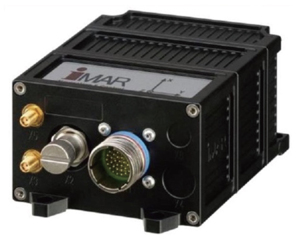
iTraceRT-MVT-200
MEMS gyro-based system
Features:
◆Outputs angular velocity, acceleration, attitude, true heading, ground heading, speed and position and all standard deviations via Ethernet, UART, CAN, USB;
◆Accuracy:2cm positional accuracy. 0.03° roll/pitch accuracy. 0.1° heading accuracy. < 1.5 mg acceleration and 0.03 m/s velocity accuracy RTK GNSS;
◆ Latency < 2ms plus jitter < 1ms in advanced vehicle control and test applications;
◆ Simultaneously supports all GNSS constellations with advanced anti-jamming capability;
◆ Access to an odometer assists in obtaining optimal performance, even during long GNSS outages;
◆ 32gbyte internal online data storage capacity;
◆ Dual antenna capability (allows headingdetermination at rest without any initial motion);
◆ Also available is a gyro compass function with an initial 0.5° heading.
◆Weight: 0.85kg Dimensions: 102x62x138mm (WxHxD) Protection: IP67 Power supply: 9-34V Power: approx. 10w Impact: 25g.
◆Rugged, compact, lightweight, advanced EMI/EMC protection.

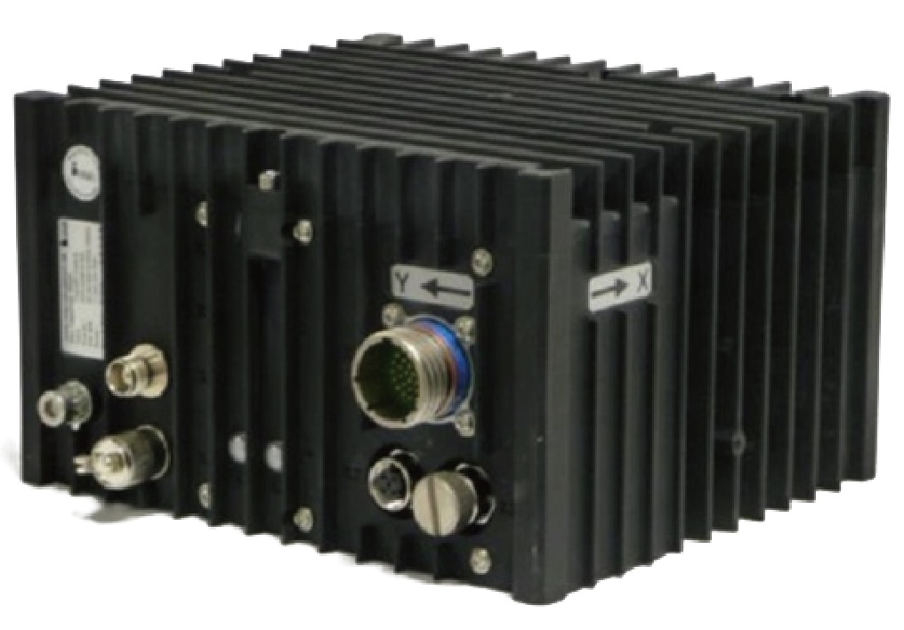
iTraceRT-MVT-500
Fiber Optic Gyro (FOG) based system.
Outputs angular velocity, acceleration, attitude, true heading, ground heading, speed and position and all standard deviations via Ethernet, UART, CAN, USB.
Features:
· Accuracy: 2cm positional accuracy, 0.01 °roll/pitch accuracy, 0.03° heading accuracy, <1.5mg acceleration and 0.02m/s velocity accuracy RTK GNSS;
· Delay <2ms plus jitter <1ms for advanced vehicle control and test applications;
· Simultaneously supports all GNSS constellations with advanced anti-jamming capabilities;
· Access to the odometer assists in obtaining optimal performance, even in the case of longer GNSS outages;
· 32gbyte internal online data storage capacity;
· Dual antenna capability;
· Gyrocompass capability with an initial 0.5° heading is available;
· Weight: 4.3kg, Size: 187x128x196mm(WxHxD), Protection: IP67, Power supply: 10-34V, Power: about 20w, Impact: 25g;
· Rugged, compact, lightweight, advanced EMI/EMC protection.

The higher accuracy iTraceRT-MVT-510 provides 0.01° roll/pitch accuracy;
0.02° heading accuracy under motion;
<0.3mg acceleration and 0.02m/s velocity accuracy RTK GNSS;
latency < 1.2ms and jitter < 1ms.
iTraceRT-F402/7
The iTraceRT-F402/7 is a very compact INS/GNSS inertial navigation, measurement, survey and control system for surface (land/sea) and airborne applications. It provides all kinematic measurements such as acceleration, angular velocity, attitude, true heading, speed and position as well as standard deviation of the target vehicle at real-time data update rates up to 400hz.
Features:
◆ With compact, lightweight, fiber optic gyro technology;
◆ Output angular rate, acceleration, attitude, velocity and position;
◆GNSS constellations are supported at the same time, such as GPS, GLONASS, Galileo, Beidou and so on;
◆ Odometer assisted performance improvement in case of GNSS loss;
◆Accuracy: 2cm position accuracy, 0.01° roll/tilt accuracy, 0.02° heading accuracy, <1.5mg acceleration and 0.02 m/s velocity accuracy with RTK GNSS;
◆Interfaces: Ethernet, USB, RS232/RS422 and CANfor real-time data, RS232 for input of RTK calibration data;
◆ Data output rate 200hz (original data 400hz);
◆Weight: 4kg, Dimension: 186x160x110mm(WxHxD), Protection: IP67, Power supply: 11-34V, Power: about 20w, Impact: 25g;
◆ There are no export restrictions and no ITAR controls.


iREF-GNSS-PRO
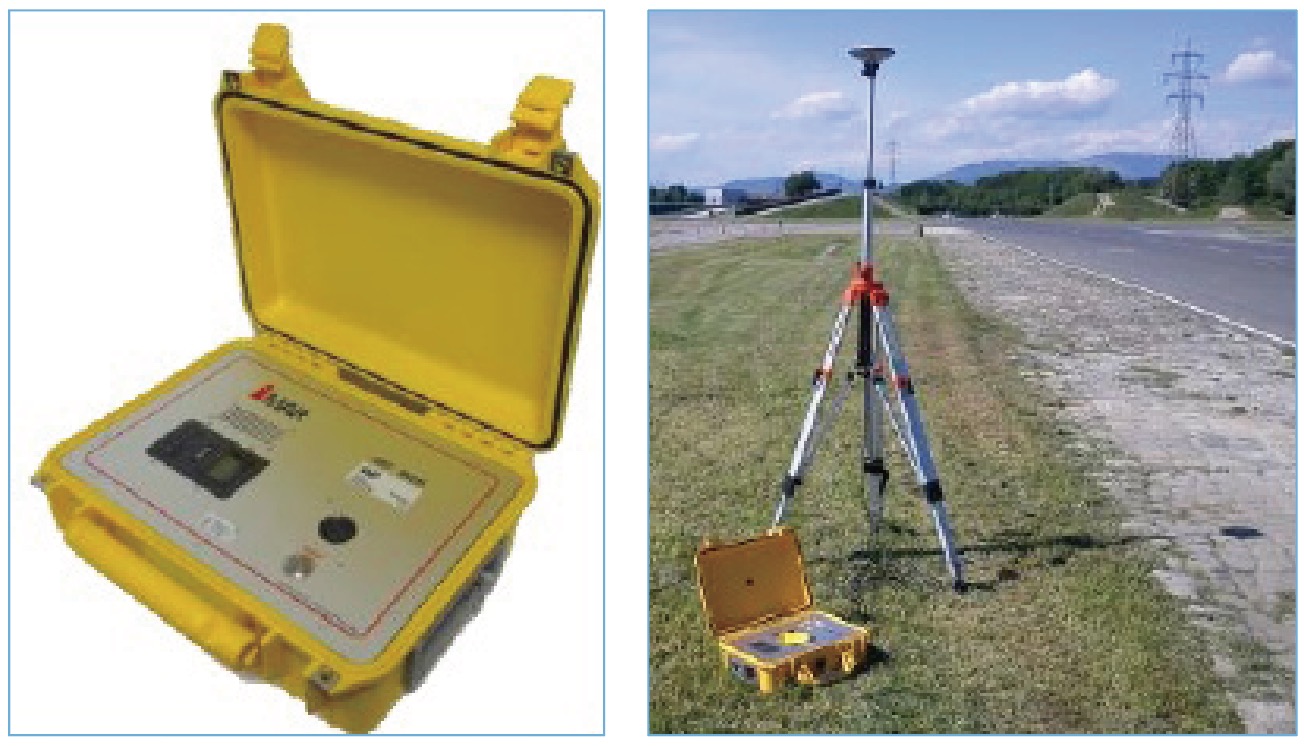
The iREF-GNSS-PRO is an RTK GNSS reference station for sending RTK calibration data to the field. iREF-GNSS-PRO is housed in a highly rugged watertight enclosure with autonomous power supply, integrated UHF or VHF radio modem, WLAN, LTE / GPRS, UART and Ethernet interfaces.
Features:
◆ RTK GNSS reference station with up to 20hz data rate;
◆ GNSS options: GPS, GLONASS, Galileo, Beidou;
◆ The iREF-GNSS-PRO comes with a full-band GNSS antenna and an aluminum tripod;
◆ Output data format: RTCA, RTCMV3, RTCM, CMR;
◆ Integrated NTRIP interface or/and radio modem for UHF (1w) or VHF (1w or 5w);
◆ The integrated LTE GSM modem receives RTK correction data and supports initial position measurement for iREF;
◆ Integrated WLAN wireless configuration capability;
◆ Power supply:Powered via 10-28V or 80-235V or via internal battery, typically 15 hours of operation with 2 integrated batteries. Integrated battery charger.
iXCOM-CMD
iXCOM-CMD is an HMI software (Human-Machine-Interface) for command, visualization, data storage and system configuration. It provides the ability to operate multiple vehicles from the same control station and display multiple vehicles on the same map, a feature known as Multi-Vehicle Tracking (MVT); it also supports a "playback" mode, which means that data can be displayed in real-time and acquired later on in the same iXCOM-CMD software, with options for speed of playback as well as graphical output. The playback speed as well as the graphic output options can be changed on demand, e.g. to zoom in on particularly interesting details. In addition, the data is exported via Ethernet (simulation feature) to support integration for automotive proving ground testing.
